
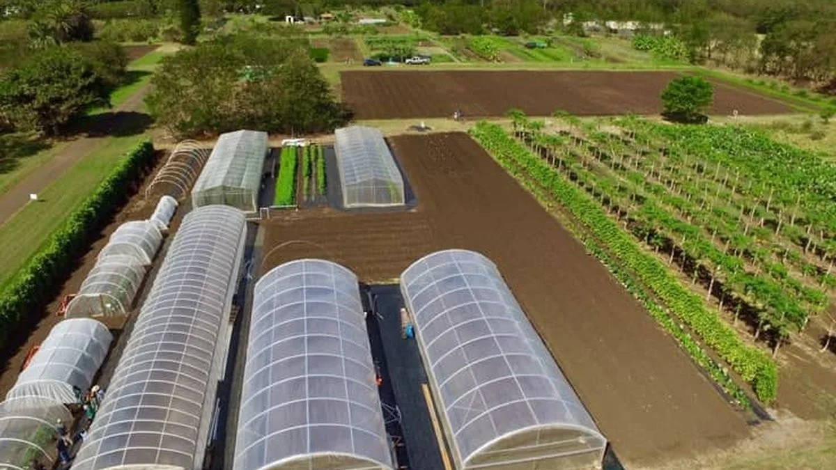
Field intelligence
Modern agriculture needs more than equipment. It needs intelligence.
We combine mapping, monitoring and engineering data with practical field knowledge to improve planning, operation and resource use.
A clearer operating picture
See the field as a connected system.
Technology supports decisions when it is tied to a clear agricultural objective: water use, crop performance, equipment visibility or investment planning.
Farm mapping
GPS, GIS and drone analysis establish boundaries, elevations and field zones.
Water intelligence
Source, storage, pressure and flow information support reliable irrigation.
Crop monitoring
Field observations and data help teams identify variation and respond earlier.
Weather awareness
Local conditions inform irrigation timing and operating decisions.
Equipment visibility
Pump and zone status make system operation easier to understand.
Decision support
Technical information becomes useful plans, schedules and actions.
Illustrative field console
Useful signals. Less noise.
Measure what matters
Collect only the field and system information needed for a decision.
Connect the system
Relate water, energy, crop and equipment conditions instead of reading them in isolation.
Act in the field
Translate insight into irrigation schedules, maintenance and farm-management action.
Start with the challenge
Put better field information to work.
Tell us about your farm, agricultural project or operational challenge. Our team will help identify a practical way forward.